2011
TR2337 : Crete Road East and milepost
taken 13 years ago, near to Capel-le-Ferne, Kent, England
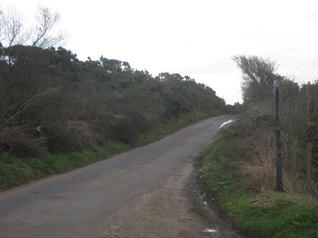
Crete Road East and milepost
This narrow road leads from the A260 White horse Hill towards the B2011 Old Dover road. It is also the route of National Cycle Network Route 2 towards Capel-le-Ferne. A milepost is on the right.
National Cycle Network Route 2
National Route 2 will link Dover with St. Austell when complete via the south coast of England and is sometimes referred to as the South Coast Cycle Route.
The route is only fully open, at present, and signed between Dover and Brighton, but is still under development between Brighton and St. Austell.
 Map © Crown Copyright")
TIP: Click the map for more Large scale mapping
- Grid Square
- TR2337, 54 images (more nearby 🔍)
- Photographer
- David Anstiss (more nearby)
- Date Taken
- Sunday, 27 February, 2011 (more nearby)
- Submitted
- Friday, 4 March, 2011
- Subject Location
-
OSGB36:
 TR 234 379 [100m precision]
WGS84: 51:5.8539N 1:11.4000E - Camera Location
-
OSGB36: TR 234 380
- View Direction
- East-southeast (about 112 degrees)