2010
SO8460 : River Severn near Hawford, Worcestershire
taken 14 years ago, near to Hawford, Worcestershire, England
River Severn near Hawford, Worcestershire
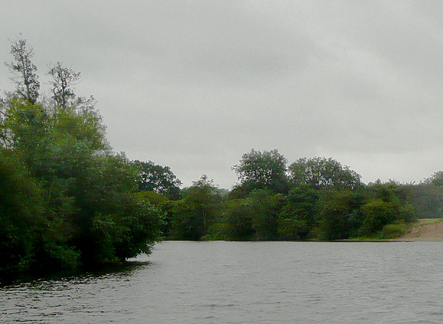
Looking (south) downstream, this was the river on a foul day dominated by rain, low cloud and wind. There was very little moving traffic, except near the public houses.
The River Severn is the longest river in Britain, at about 354 kilometres (220 miles). Its source is on Plynlimon near Llanidloes, Powys, in the Cambrian Mountains It then flows through Shropshire, Worcestershire and Gloucestershire. The Severn is the greatest river in terms of water flow in England and Wales.
The River Severn is the longest river in Britain, at about 354 kilometres (220 miles). Its source is on Plynlimon near Llanidloes, Powys, in the Cambrian Mountains It then flows through Shropshire, Worcestershire and Gloucestershire. The Severn is the greatest river in terms of water flow in England and Wales.
 Map © Crown Copyright")
TIP: Click the map for more Large scale mapping
- Grid Square
- SO8460, 111 images (more nearby 🔍)
- Photographer
- Roger D Kidd (more nearby)
- Date Taken
- Friday, 20 August, 2010 (more nearby)
- Submitted
- Saturday, 12 March, 2011
- Subject Location
-
OSGB36:
 SO 840 602 [100m precision]
WGS84: 52:14.3960N 2:14.1158W - Camera Location
-
OSGB36: SO 840 602
- View Direction
- South-southeast (about 157 degrees)