2011
SD1968 : Michaelson Road, Barrow in Furness
taken 13 years ago, near to Barrow-in-Furness, Cumbria, England
This is 1 of 7 images, with title starting with Michaelson Road in this square
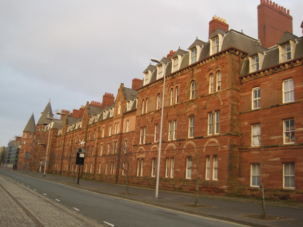
Michaelson Road, Barrow in Furness
 Map © Crown Copyright")
TIP: Click the map for more Large scale mapping
- Grid Square
- SD1968, 134 images (more nearby 🔍)
- Photographer
- Les Hull (more nearby)
- Date Taken
- Saturday, 5 March, 2011 (more nearby)
- Submitted
- Sunday, 13 March, 2011
- Subject Location
-
OSGB36:
 SD 196 684 [100m precision]
WGS84: 54:6.3215N 3:13.8597W - Camera Location
-
OSGB36: SD 195 683
- View Direction
- North-northeast (about 22 degrees)