2010
NH2866 : Loch Fannich access road
taken 14 years ago, near to Aultdearg, Highland, Scotland
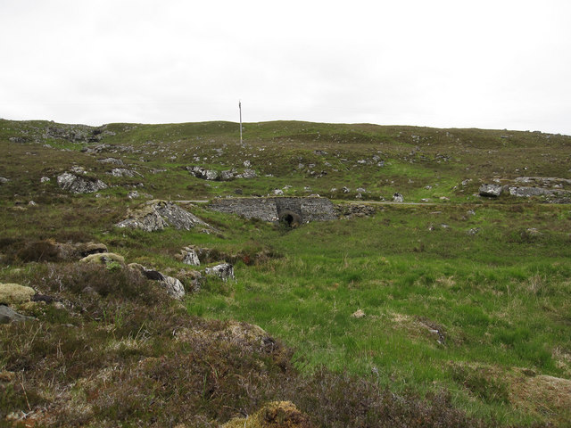
Loch Fannich access road
Looking up from the river to a culvert under the road.
 Map © Crown Copyright")
TIP: Click the map for more Large scale mapping
- Grid Square
- NH2866, 9 images (more nearby 🔍)
- Photographer
- Hugh Venables (more nearby)
- Date Taken
- Thursday, 10 June, 2010 (more nearby)
- Submitted
- Friday, 18 March, 2011
- Subject Location
-
OSGB36:
 NH 281 660 [100m precision]
WGS84: 57:39.0943N 4:52.8604W - Camera Location
-
OSGB36: NH 281 660
- View Direction
- East-northeast (about 67 degrees)