2006
SK1448 : Lees Farm
taken 18 years ago, near to Blore, Staffordshire, England
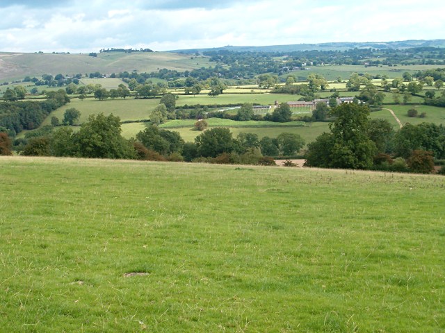
Lees Farm
A view from the Limestone Way.
 Map © Crown Copyright")
TIP: Click the map for more Large scale mapping
- Grid Square
- SK1448, 12 images (more nearby 🔍)
- Photographer
- Patrick Mackie (more nearby)
- Date Taken
- Wednesday, 30 August, 2006 (more nearby)
- Submitted
- Saturday, 2 September, 2006
- Subject Location
-
OSGB36:
 SK 147 487 [100m precision]
WGS84: 53:2.1228N 1:46.9341W - Camera Location
-
OSGB36: SK 14 48
- View Direction
- Northeast (about 45 degrees)