2011
TL8294 : Lynford Water information board
taken 13 years ago, near to Ickburgh, Norfolk, England
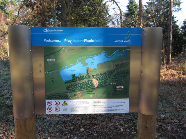
Lynford Water information board
Giving details about access to the gravel pits.
 Map © Crown Copyright")
TIP: Click the map for more Large scale mapping
- Grid Square
- TL8294, 72 images (more nearby 🔍)
- Photographer
- Hugh Venables (more nearby)
- Date Taken
- Saturday, 19 March, 2011 (more nearby)
- Submitted
- Sunday, 20 March, 2011
- Subject Location
-
OSGB36:
 TL 822 943 [100m precision]
WGS84: 52:31.0154N 0:41.0459E - Camera Location
-
OSGB36: TL 822 943
- View Direction
- NORTH (about 0 degrees)