2011
TG2128 : Church Farm, Banningham
taken 13 years ago, near to Banningham, Norfolk, England
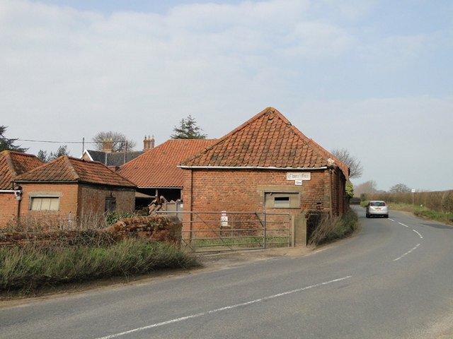
Church Farm, Banningham
 Map © Crown Copyright")
TIP: Click the map for more Large scale mapping
- Grid Square
- TG2128, 36 images (more nearby 🔍)
- Photographer
- Adrian S Pye (more nearby)
- Date Taken
- Monday, 28 March, 2011 (more nearby)
- Submitted
- Tuesday, 29 March, 2011
- Subject Location
-
OSGB36:
 TG 210 287 [100m precision]
WGS84: 52:48.6781N 1:16.7450E - Camera Location
-
OSGB36: TG 210 287
- View Direction
- North-northeast (about 22 degrees)