2011
SJ5256 : Cut Mark: Hill Lane, Higher Burwardsley
taken 13 years ago, near to Burwardsley, Cheshire West And Chester, England
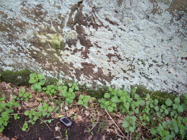
Cut Mark: Hill Lane, Higher Burwardsley
OS Cut Mark on the sandstone rock on the side of Hill Lane, Higher Burwardsley. Number B11094 on the Benchmark Database, see Link
 Map © Crown Copyright")
TIP: Click the map for more Large scale mapping
- Grid Square
- SJ5256, 52 images (more nearby 🔍)
- Photographer
- VBForever (more nearby)
- Date Taken
- Friday, 1 April, 2011 (more nearby)
- Submitted
- Saturday, 2 April, 2011
- Subject Location
-
OSGB36:
 SJ 52490 56566 [1m precision]
WGS84: 53:6.2497N 2:42.6651W - Camera Location
-
OSGB36: SJ 52490 56566
- View Direction
- South-southeast (about 157 degrees)