2006
TF4279 : Track and Red Flag
taken 18 years ago, near to Aby, Lincolnshire, England
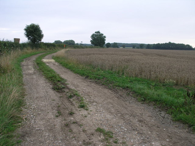
Track and Red Flag
I guess the red flag by the side of this farm track has some significance which is not clear.
 Map © Crown Copyright")
TIP: Click the map for more Large scale mapping
- Grid Square
- TF4279, 12 images (more nearby 🔍)
- Photographer
- Michael Patterson (more nearby)
- Date Taken
- Saturday, 26 August, 2006 (more nearby)
- Submitted
- Tuesday, 5 September, 2006
- Subject Location
-
OSGB36:
 TF 428 794 [100m precision]
WGS84: 53:17.5395N 0:8.4572E - Camera Location
-
OSGB36: TF 428 792
- View Direction
- NORTH (about 0 degrees)