2006
SJ8259 : South Cheshire Way
taken 18 years ago, near to Spen Green, Cheshire East, England
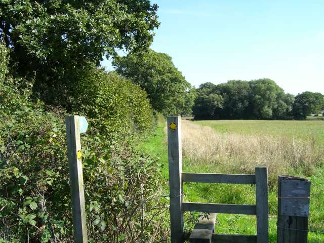
South Cheshire Way
This stile is where the SCW leaves Chance Hall Lane heading roughly East towards Cuttleford Farm and the A34
 Map © Crown Copyright")
TIP: Click the map for more Large scale mapping
- Grid Square
- SJ8259, 13 images (more nearby 🔍)
- Photographer
- Steve Lewin (more nearby)
- Date Taken
- Friday, 8 September, 2006 (more nearby)
- Submitted
- Friday, 8 September, 2006
- Subject Location
-
OSGB36:
 SJ 823 591 [100m precision]
WGS84: 53:7.7260N 2:15.9587W - View Direction
- East-southeast (about 112 degrees)