2011
NO1617 : River Farg
taken 13 years ago, near to Aberargie, Perth And Kinross, Scotland
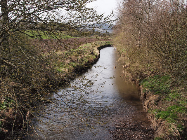
River Farg
Taken south of Culfargie, where a farm bridge crosses the river.
 Map © Crown Copyright")
TIP: Click the map for more Large scale mapping
- Grid Square
- NO1617, 8 images (more nearby 🔍)
- Photographer
- Rob Burke (more nearby)
- Date Taken
- Tuesday, 5 April, 2011 (more nearby)
- Submitted
- Wednesday, 20 April, 2011
- Subject Location
-
OSGB36:
 NO 16857 17450 [1m precision]
WGS84: 56:20.5246N 3:20.7969W - Camera Location
-
OSGB36: NO 16857 17450
- View Direction
- Southwest (about 225 degrees)