2005
TQ5592 : Dagnam Park, Harold Hill, Essex
taken 19 years ago, near to Noak Hill, Havering, England
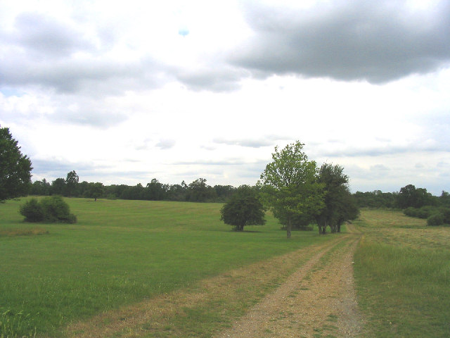
Dagnam Park, Harold Hill, Essex
This urban park was once part of the 'Dagnams' country estate - the house was hit by a V2 rocket at end of 2nd World War and later demolished after the L.C.C. had bought the whole estate for £60,000. Now just the parkland is left.
 Map © Crown Copyright")
TIP: Click the map for more Large scale mapping
- Grid Square
- TQ5592, 15 images (more nearby 🔍)
- Photographer
- John Winfield (more nearby)
- Date Taken
- Monday, 4 July, 2005 (more nearby)
- Submitted
- Monday, 4 July, 2005
- Subject Location
-
OSGB36:
 TQ 5509 9297 [10m precision]
WGS84: 51:36.8519N 0:14.3152E - Camera Location
-
OSGB36: TQ 5509 9281
- View Direction
- NORTH (about 0 degrees)