2006
NT1604 : Loch Fell
taken 18 years ago, near to Loch Fell [hill or Mountain], Dumfries And Galloway, Great Britain
This is 1 of 2 images, with title Loch Fell in this square
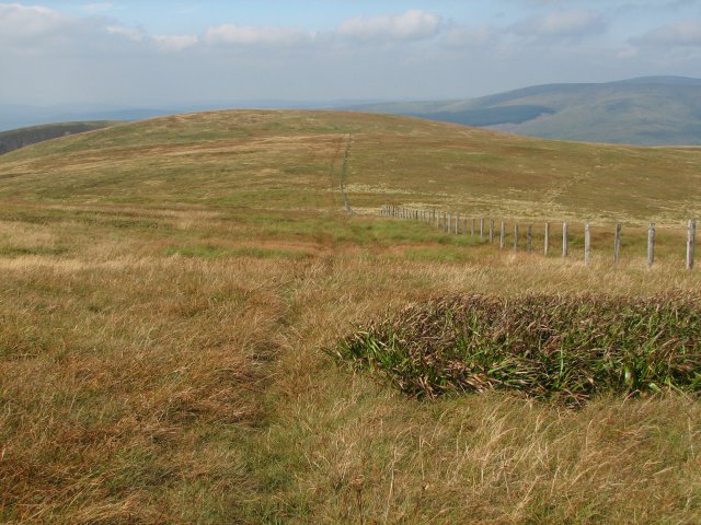
Loch Fell
Heading northwest away from the Trig Point on Loch Fell towards West Knowe.
 Map © Crown Copyright")
TIP: Click the map for more Large scale mapping
- Grid Square
- NT1604, 6 images (more nearby 🔍)
- Photographer
- Callum Black (more nearby)
- Date Taken
- Saturday, 9 September, 2006 (more nearby)
- Submitted
- Monday, 11 September, 2006
- Subject Location
-
OSGB36:
 NT 168 048 [100m precision]
WGS84: 55:19.8113N 3:18.7788W - View Direction
- Northwest (about 315 degrees)