2011
TF3502 : Adventurers' Land near Guyhirn
taken 13 years ago, near to Thorney Toll, Cambridgeshire, England
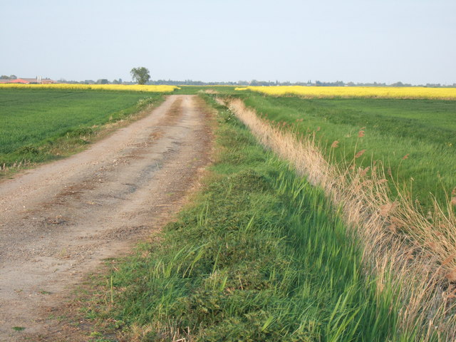
Adventurers' Land near Guyhirn
South of Elm Tree Farm. This prime farmland was once part of a vast fen at the southern end of the Wash. Drainage of the Fens began in earnest when, in 1630, Francis Earl of Bedford and a number of investors, known as Adventurers because they adventured their money, commissioned a Dutchman, Cornelius Vermuyden to drain the Fens. Some areas of the drained land within the Fens still retain the name Adventurers Fen.
 Map © Crown Copyright")
TIP: Click the map for more Large scale mapping
- Grid Square
- TF3502, 4 images (more nearby 🔍)
- Photographer
- Richard Humphrey (more nearby)
- Date Taken
- Monday, 25 April, 2011 (more nearby)
- Submitted
- Monday, 25 April, 2011
- Subject Location
-
OSGB36:
 TF 357 023 [100m precision]
WGS84: 52:36.0976N 0:0.1801E - Camera Location
-
OSGB36: TF 356 022
- View Direction
- East-northeast (about 67 degrees)