2011
SO2776 : Track from Cwm-sanahan Hill
taken 13 years ago, near to Purlogue, Shropshire, England
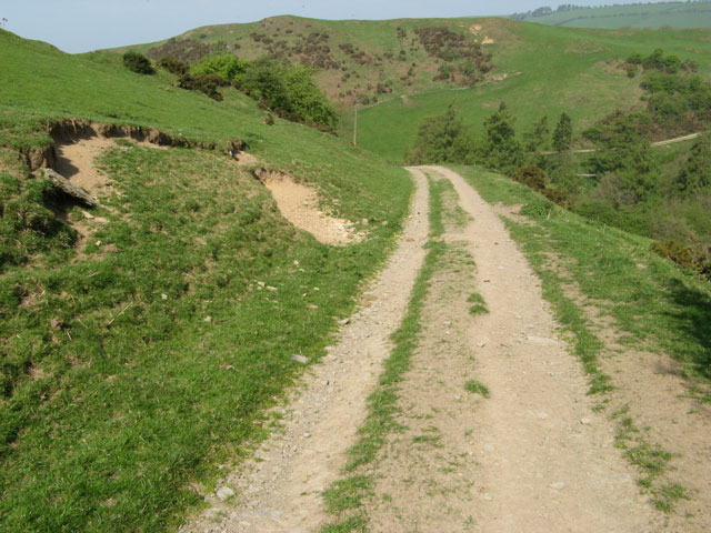
Track from Cwm-sanahan Hill
The track from the upland pastures descends steeply to the road junction.
 Map © Crown Copyright")
TIP: Click the map for more Large scale mapping
- Grid Square
- SO2776, 10 images (more nearby 🔍)
- Photographer
- Jonathan Wilkins (more nearby)
- Date Taken
- Thursday, 21 April, 2011 (more nearby)
- Submitted
- Tuesday, 26 April, 2011
- Subject Location
-
OSGB36:
 SO 271 767 [100m precision]
WGS84: 52:23.0561N 3:4.3503W - Camera Location
-
OSGB36: SO 271 767
- View Direction
- West-northwest (about 292 degrees)