2011
NZ1211 : Lane Head junction
taken 13 years ago, near to Lane Head, County Durham, England
This is 1 of 3 images, with title starting with Lane Head in this square
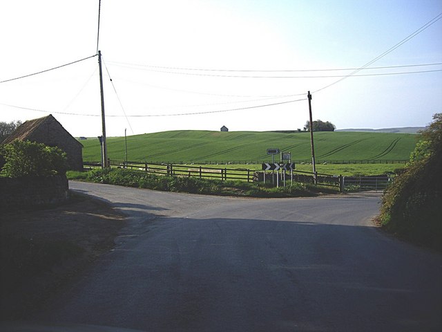
Lane Head junction
 Map © Crown Copyright")
TIP: Click the map for more Large scale mapping
- Grid Square
- NZ1211, 12 images (more nearby 🔍)
- Photographer
- Stanley Howe (more nearby)
- Date Taken
- Saturday, 30 April, 2011 (more nearby)
- Submitted
- Monday, 2 May, 2011
- Subject Location
-
OSGB36:
 NZ 124 116 [100m precision]
WGS84: 54:30.0121N 1:48.5193W - Camera Location
-
OSGB36: NZ 124 117
- View Direction
- SOUTH (about 180 degrees)