2011
SD6811 : Dean Brook at Barrow Bridge
taken 13 years ago, 3 km from Lostock Junction, Bolton, England
This is 1 of 13 images, with title starting with Dean Brook in this square
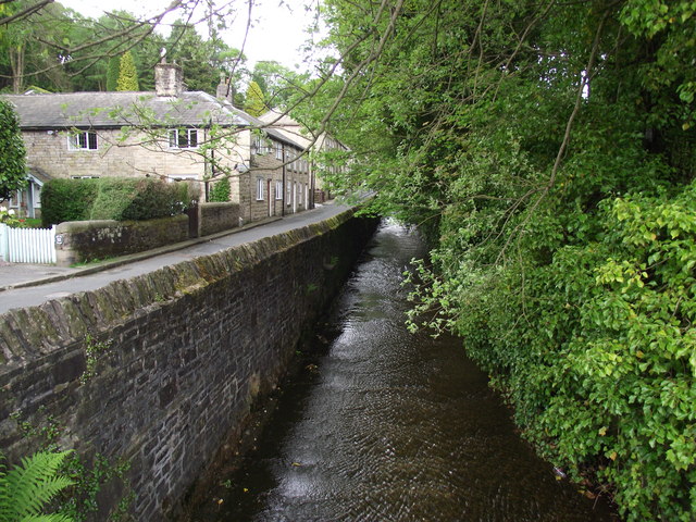
Dean Brook at Barrow Bridge
The brook, as it runs through the village, is confined by walls and the bed is man made.
 Map © Crown Copyright")
TIP: Click the map for more Large scale mapping
- Grid Square
- SD6811, 76 images (more nearby 🔍)
- Photographer
- philandju (more nearby)
- Date Taken
- Tuesday, 10 May, 2011 (more nearby)
- Submitted
- Tuesday, 10 May, 2011
- Subject Location
-
OSGB36:
 SD 689 116 [100m precision]
WGS84: 53:36.0510N 2:28.2221W - Camera Location
-
OSGB36: SD 689 116
- View Direction
- Northwest (about 315 degrees)