2005
SU1320 : Footpath through crops near the Breamore mizmaze
taken 19 years ago, near to Whitsbury, Hampshire, England
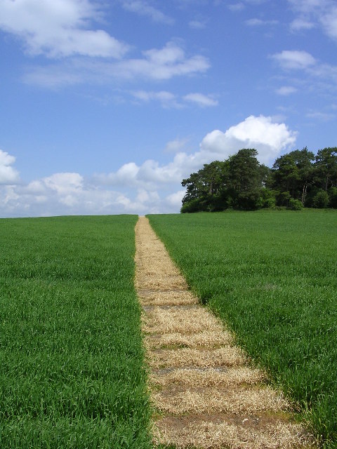
Footpath through crops near the Breamore mizmaze
This footpath has been deliberately created (using herbicide?) through the crops by the Breamore House estate: it leads from the Giant's Grave long barrow up towards Gallows Hill.
 Map © Crown Copyright")
TIP: Click the map for more Large scale mapping
- Grid Square
- SU1320, 22 images (more nearby 🔍)
- Photographer
- Jim Champion (more nearby)
- Date Taken
- Monday, 30 May, 2005 (more nearby)
- Submitted
- Tuesday, 5 July, 2005
- Subject Location
-
OSGB36:
 SU 1390 2007 [10m precision]
WGS84: 50:58.7924N 1:48.2024W - Camera Location
-
OSGB36: SU 1390 2006
- View Direction
- North-northeast (about 22 degrees)