2011
TQ3666 : Cycle Route sign, Wickham Rd
taken 13 years ago, near to Addington, Croydon, England
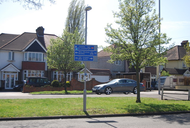
Cycle Route sign, Wickham Rd
Route 21 of The National Cycle Network runs south from Greenwich out of London through Lewisham (the Waterlink Way) to Crawley, and then via East Grinstead and Eridge to Heathfield and Eastbourne, a distance of 95 miles.
The section between Groombridge and East Grinstead follows the Forest Way. Link
See Link for a map of the route.
See other images of National Cycle Network Route 21
The section between Groombridge and East Grinstead follows the Forest Way. Link
See Link
See other images of National Cycle Network Route 21
 Map © Crown Copyright")
TIP: Click the map for more Large scale mapping
- Grid Square
- TQ3666, 87 images (more nearby 🔍)
- Photographer
- N Chadwick (more nearby)
- Date Taken
- Saturday, 9 April, 2011 (more nearby)
- Submitted
- Friday, 20 May, 2011
- Subject Location
-
OSGB36:
 TQ 367 660 [100m precision]
WGS84: 51:22.6070N 0:2.2364W - Camera Location
-
OSGB36: TQ 367 660
- View Direction
- South-southeast (about 157 degrees)