2011
ND1449 : Bridge across the River Thurso
taken 13 years ago, 3 km from Westerdale, Highland, Scotland
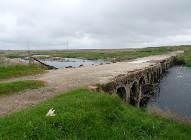
Bridge across the River Thurso
It's not clear on the OS 1:50,000, but the river splits in two around an island at this point. Therefore there are two bridges, one either side of the island. This is the northern one.
 Map © Crown Copyright")
TIP: Click the map for more Large scale mapping
- Grid Square
- ND1449, 5 images (more nearby 🔍)
- Photographer
- Claire Pegrum (more nearby)
- Date Taken
- Sunday, 15 May, 2011 (more nearby)
- Submitted
- Sunday, 22 May, 2011
- Subject Location
-
OSGB36:
 ND 14195 49045 [1m precision]
WGS84: 58:25.2777N 3:28.2396W - Camera Location
-
OSGB36: ND 14195 49045
- View Direction
- East-southeast (about 112 degrees)