2011
SD7785 : The road to Arten Gill
taken 13 years ago, near to Stone House, Cumbria, England
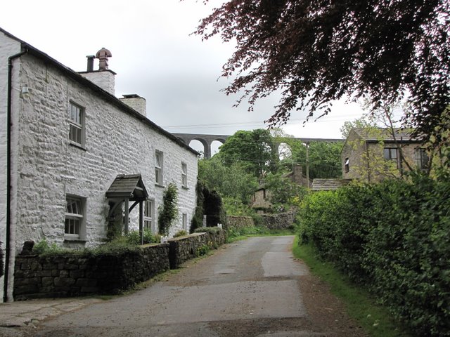
The road to Arten Gill
After passing the farm houses the road becomes little more than a rough track. It is an ancient drove road linking Dentdale with Wensleydale. It passes under the arches of Artengill Viaduct which is seen on the skyline.
 Map © Crown Copyright")
TIP: Click the map for more Large scale mapping
- Grid Square
- SD7785, 162 images (more nearby 🔍)
- Photographer
- K A (more nearby)
- Date Taken
- Saturday, 21 May, 2011 (more nearby)
- Submitted
- Sunday, 22 May, 2011
- Subject Location
-
OSGB36:
 SD 772 859 [100m precision]
WGS84: 54:16.0947N 2:21.0668W - Camera Location
-
OSGB36: SD 771 859
- View Direction
- EAST (about 90 degrees)