2006
NN4099 : General Wade's Military Road below Meallan Odhar Meadhon
taken 18 years ago, near to Meallan Odhar Meadhon [other Features], Highland, Great Britain
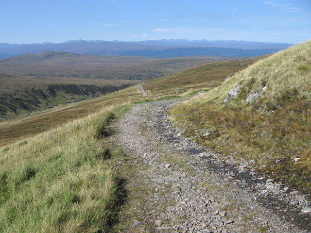
General Wade's Military Road below Meallan Odhar Meadhon
 Map © Crown Copyright")
TIP: Click the map for more Large scale mapping
- Grid Square
- NN4099, 8 images (more nearby 🔍)
- Photographer
- Chris Wimbush (more nearby)
- Date Taken
- Saturday, 16 September, 2006 (more nearby)
- Submitted
- Monday, 18 September, 2006
- Subject Location
-
OSGB36:
 NN 403 993 [100m precision]
WGS84: 57:3.4195N 4:38.0914W - Camera Location
-
OSGB36: NN 4045 9926
- View Direction
- Northwest (about 315 degrees)