2011
NZ0795 : Trees along the stream edge
taken 13 years ago, near to Coldrife, Northumberland, England
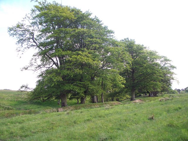
Trees along the stream edge
and the now defunct boundary wall that can be seen on the Ordnance Survey map of the area. The same group of trees in [Link]
 Map © Crown Copyright")
TIP: Click the map for more Large scale mapping
- Grid Square
- NZ0795, 24 images (more nearby 🔍)
- Photographer
- David Clark (more nearby)
- Date Taken
- Wednesday, 25 May, 2011 (more nearby)
- Submitted
- Thursday, 26 May, 2011
- Subject Location
-
OSGB36:
 NZ 077 956 [100m precision]
WGS84: 55:15.3195N 1:52.7677W - Camera Location
-
OSGB36: NZ 077 957
- View Direction
- South-southeast (about 157 degrees)