2011
TQ2510 : Head of Devil's Dyke
taken 13 years ago, near to Poynings, West Sussex, England
This is 1 of 2 images, with title Head of Devil's Dyke in this square
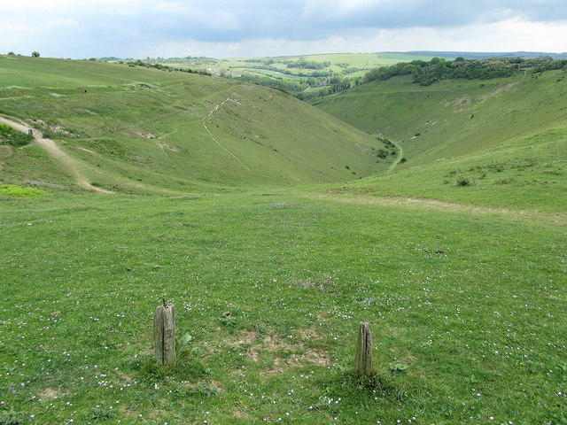
Head of Devil's Dyke
Top of the dry valley of Devil's Dyke which snakes its way down towards Poynings.
 Map © Crown Copyright")
TIP: Click the map for more Large scale mapping
- Grid Square
- TQ2510, 112 images (more nearby 🔍)
- Photographer
- Chris Heaton (more nearby)
- Date Taken
- Wednesday, 11 May, 2011 (more nearby)
- Submitted
- Monday, 30 May, 2011
- Subject Location
-
OSGB36:
 TQ 259 108 [100m precision]
WGS84: 50:53.0103N 0:12.6288W - Camera Location
-
OSGB36: TQ 258 108
- View Direction
- EAST (about 90 degrees)