2010
TQ4465 : The Kyd Brook - East Branch, west of Clareville Road, BR6 (4)
taken 13 years ago, near to Farnborough, Bromley, England
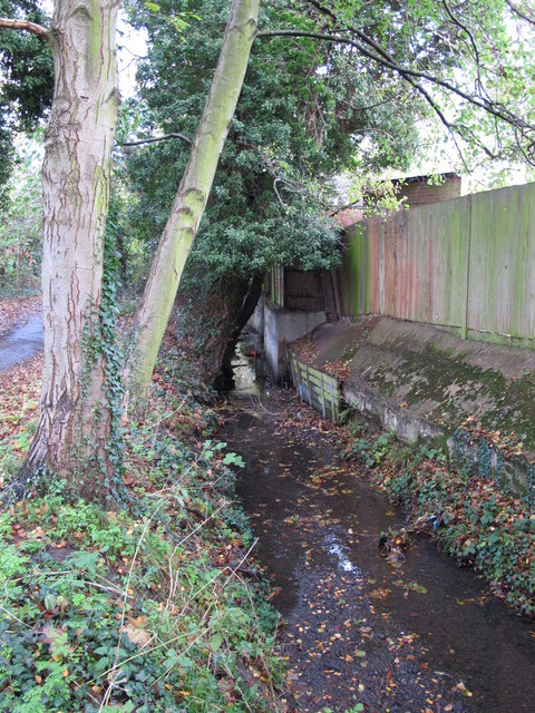
The Kyd Brook - East Branch, west of Clareville Road, BR6 (4)
 Map © Crown Copyright")
TIP: Click the map for more Large scale mapping
- Grid Square
- TQ4465, 134 images (more nearby 🔍)
- Photographer
- Mike Quinn (more nearby)
- Date Taken
- Thursday, 18 November, 2010 (more nearby)
- Submitted
- Tuesday, 31 May, 2011
- Subject Location
-
OSGB36:
 TQ 44129 65928 [1m precision]
WGS84: 51:22.4473N 0:4.1614E - Camera Location
-
OSGB36: TQ 44121 65910
- View Direction
- North-northeast (about 22 degrees)