2011
ST8428 : Field headland near Sedgehill
taken 13 years ago, near to Sedgehill, Wiltshire, England
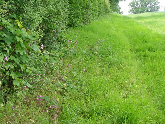
Field headland near Sedgehill
The wide headland is between an ancient hedge and a field of wheat.
 Map © Crown Copyright")
TIP: Click the map for more Large scale mapping
- Grid Square
- ST8428, 9 images (more nearby 🔍)
- Photographer
- Maigheach-gheal (more nearby)
- Date Taken
- Wednesday, 1 June, 2011 (more nearby)
- Submitted
- Wednesday, 1 June, 2011
- Subject Location
-
OSGB36:
 ST 8445 2818 [10m precision]
WGS84: 51:3.1651N 2:13.3936W - Camera Location
-
OSGB36: ST 8447 2818
- View Direction
- West-northwest (about 292 degrees)