2011
SU9415 : South downs Way in woodland near Tegleaze
taken 13 years ago, near to East Lavington, West Sussex, England
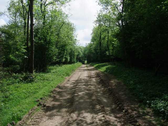
South downs Way in woodland near Tegleaze
 Map © Crown Copyright")
TIP: Click the map for more Large scale mapping
- Grid Square
- SU9415, 25 images (more nearby 🔍)
- Photographer
- Tim Heaton (more nearby)
- Date Taken
- Monday, 9 May, 2011 (more nearby)
- Submitted
- Wednesday, 1 June, 2011
- Subject Location
-
OSGB36:
 SU 943 154 [100m precision]
WGS84: 50:55.8586N 0:39.5352W - Camera Location
-
OSGB36: SU 943 155
- View Direction
- Southeast (about 135 degrees)