2011
TM2665 : Footpath to World's End Road
taken 13 years ago, near to Saxtead, Suffolk, England
This is 1 of 5 images, with title Footpath to World's End Road in this square
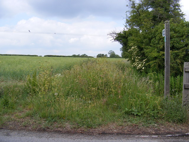
Footpath to World's End Road
Off the A1120 Several Road
Saxtead footpath no.1
Saxtead footpath no.1
Saxtead Bottom, Suffolk
Saxtead Bottom is a hamlet in the village of Saxtead in Suffolk around the A1120.
 Map © Crown Copyright")
TIP: Click the map for more Large scale mapping
- Grid Square
- TM2665, 66 images (more nearby 🔍)
- Photographer
- Geographer (more nearby)
- Date Taken
- Tuesday, 7 June, 2011 (more nearby)
- Submitted
- Tuesday, 7 June, 2011
- Subject Location
-
OSGB36:
 TM 2655 6597 [10m precision]
WGS84: 52:14.7151N 1:19.0293E - Camera Location
-
OSGB36: TM 2655 6597
- View Direction
- Northwest (about 315 degrees)