2011
ND0823 : Langwell River
taken 13 years ago, 3 km from Ousdale, Highland, Scotland
This is 1 of 3 images, with title starting with Langwell in this square
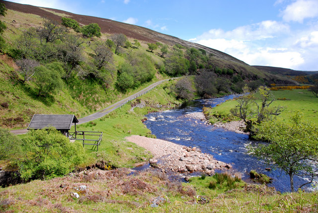
Langwell River
Looking down on the anglers' hut (Ladies Tent) and the river as it flows east to the coast.
 Map © Crown Copyright")
TIP: Click the map for more Large scale mapping
- Grid Square
- ND0823, 11 images (more nearby 🔍)
- Photographer
- Glen Breaden (more nearby)
- Date Taken
- Tuesday, 24 May, 2011 (more nearby)
- Submitted
- Wednesday, 8 June, 2011
- Subject Location
-
OSGB36:
 ND 0861 2311 [10m precision]
WGS84: 58:11.2391N 3:33.3585W - Camera Location
-
OSGB36: ND 0851 2314
- View Direction
- East-southeast (about 112 degrees)