2011
SP3434 : Road junction north of Hook Norton
taken 13 years ago, near to Hook Norton, Oxfordshire, England
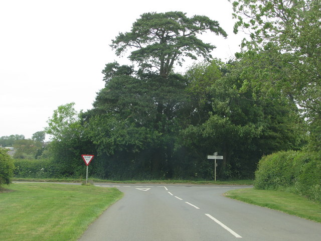
Road junction north of Hook Norton
 Map © Crown Copyright")
TIP: Click the map for more Large scale mapping
- Grid Square
- SP3434, 18 images (more nearby 🔍)
- Photographer
- Sarah Charlesworth (more nearby)
- Date Taken
- Monday, 23 May, 2011 (more nearby)
- Submitted
- Thursday, 9 June, 2011
- Subject Location
-
OSGB36:
 SP 3487 3471 [10m precision]
WGS84: 52:0.5839N 1:29.6028W - Camera Location
-
OSGB36: SP 3487 3468
- View Direction
- North-northwest (about 337 degrees)