2011
NT9805 : Burradon Windyside Farm
taken 13 years ago, near to Burradon, Northumberland, England
This is 1 of 2 images, with title Burradon Windyside Farm in this square
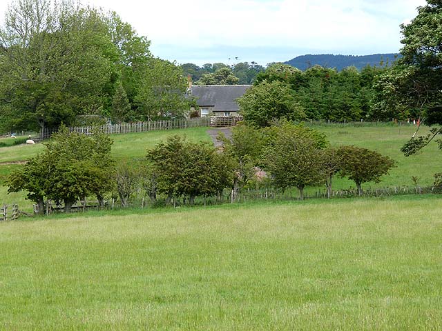
Burradon Windyside Farm
 Map © Crown Copyright")
TIP: Click the map for more Large scale mapping
- Grid Square
- NT9805, 5 images (more nearby 🔍)
- Photographer
- Oliver Dixon (more nearby)
- Date Taken
- Monday, 13 June, 2011 (more nearby)
- Submitted
- Saturday, 18 June, 2011
- Subject Location
-
OSGB36:
 NT 9875 0559 [10m precision]
WGS84: 55:20.6605N 2:1.2755W - Camera Location
-
OSGB36: NT 98481 05448
- View Direction
- East-northeast (about 67 degrees)