2011
TR0544 : Unnamed road
taken 13 years ago, near to Brook, Kent, England
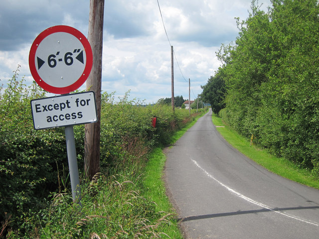
Unnamed road
South of Naccott. Leading to Blackwell lane from Oxenturn Lane.
 Map © Crown Copyright")
TIP: Click the map for more Large scale mapping
- Grid Square
- TR0544, 9 images (more nearby 🔍)
- Photographer
- Oast House Archive (more nearby)
- Date Taken
- Friday, 24 June, 2011 (more nearby)
- Submitted
- Friday, 24 June, 2011
- Subject Location
-
OSGB36:
 TR 051 443 [100m precision]
WGS84: 51:9.6704N 0:55.9139E - Camera Location
-
OSGB36: TR 051 442
- View Direction
- West-northwest (about 292 degrees)