2011
TQ4883 : The Gores through Goresbrook Park
taken 13 years ago, near to Dagenham, Barking And Dagenham, England
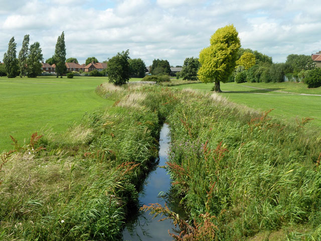
The Gores through Goresbrook Park
The brook or drain is mapped as The Gores, which was a new one on me! It discharges to the Thames nearly opposite Cross Ness.
 Map © Crown Copyright")
TIP: Click the map for more Large scale mapping
- Grid Square
- TQ4883, 62 images (more nearby 🔍)
- Photographer
- Robin Webster (more nearby)
- Date Taken
- Saturday, 25 June, 2011 (more nearby)
- Submitted
- Sunday, 26 June, 2011
- Subject Location
-
OSGB36:
 TQ 4867 8384 [10m precision]
WGS84: 51:32.0337N 0:8.5243E - Camera Location
-
OSGB36: TQ 48685 83787
- View Direction
- NORTH (about 0 degrees)