2006
NT0822 : Fruid Water
taken 18 years ago, near to Tweedsmuir, Scottish Borders, Scotland
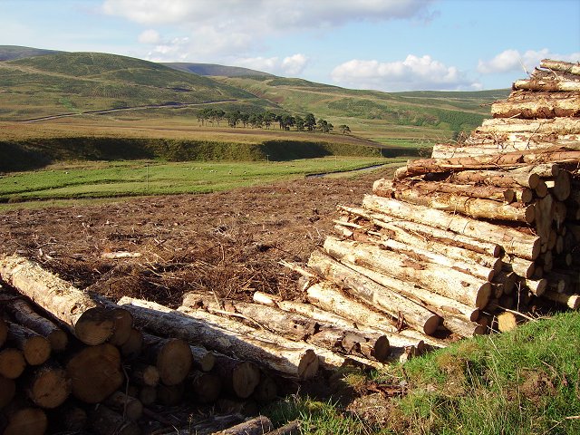
Fruid Water
Fruid Water and Tweeddale from a roadside log stack. The new plantings on Oliver Dod in the distance.
 Map © Crown Copyright")
TIP: Click the map for more Large scale mapping
- Grid Square
- NT0822, 13 images (more nearby 🔍)
- Photographer
- Richard Webb (more nearby)
- Date Taken
- Saturday, 23 September, 2006 (more nearby)
- Submitted
- Tuesday, 26 September, 2006
- Subject Location
-
OSGB36:
 NT 087 223 [100m precision]
WGS84: 55:29.1568N 3:26.7807W - View Direction
- Northwest (about 315 degrees)