2011
SD8692 : Cattle grid at viewpoint at High Shaw
taken 13 years ago, near to High Shaw, North Yorkshire, England
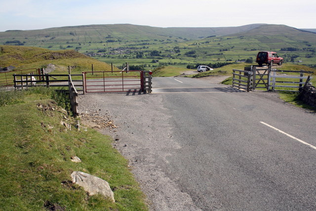
Cattle grid at viewpoint at High Shaw
The rock at the left foreground carries an OS benchmark SD8692 : Roadside benchmarked boulder
 Map © Crown Copyright")
TIP: Click the map for more Large scale mapping
- Grid Square
- SD8692, 33 images (more nearby 🔍)
- Photographer
- Roger Templeman (more nearby)
- Date Taken
- Tuesday, 14 June, 2011 (more nearby)
- Submitted
- Monday, 4 July, 2011
- Subject Location
-
OSGB36:
 SD 8659 9284 [10m precision]
WGS84: 54:19.8569N 2:12.4629W - Camera Location
-
OSGB36: SD 8659 9284
- View Direction
- SOUTH (about 180 degrees)