2006
TA1973 : OS Triangulation Pillar Blakehowe
taken 18 years ago, near to Bempton, East Riding of Yorkshire, England
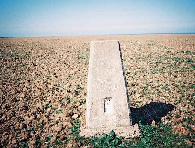
OS Triangulation Pillar Blakehowe
OS pillar S6329 at field boundary 250 m of a track to Wandale Farm
 Map © Crown Copyright")
TIP: Click the map for more Large scale mapping
- Grid Square
- TA1973, 113 images (more nearby 🔍)
- Photographer
- manonabike (more nearby)
- Date Taken
- Thursday, 28 September, 2006 (more nearby)
- Submitted
- Thursday, 28 September, 2006
- Subject Location
-
OSGB36:
 TA 199 730 [100m precision]
WGS84: 54:8.3314N 0:9.9713W - View Direction
- EAST (about 90 degrees)