2011
SE0934 : Dean Lane Bottom
taken 13 years ago, near to Thornton, Bradford, England
This is 1 of 3 images, with title starting with Dean Lane in this square
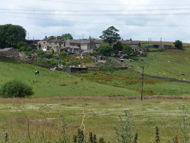
Dean Lane Bottom
Clover-filled valley bottom, overlooked by new houses at Upper Streamhead Farm.
 Map © Crown Copyright")
TIP: Click the map for more Large scale mapping
- Grid Square
- SE0934, 28 images (more nearby 🔍)
- Photographer
- Christine Johnstone (more nearby)
- Date Taken
- Wednesday, 13 July, 2011 (more nearby)
- Submitted
- Thursday, 14 July, 2011
- Subject Location
-
OSGB36:
 SE 0927 3415 [10m precision]
WGS84: 53:48.2140N 1:51.6437W - Camera Location
-
OSGB36: SE 0934 3413
- View Direction
- West-northwest (about 292 degrees)