2011
TQ4286 : Path near Aldersbrook Road
taken 13 years ago, near to Ilford, Redbridge, England
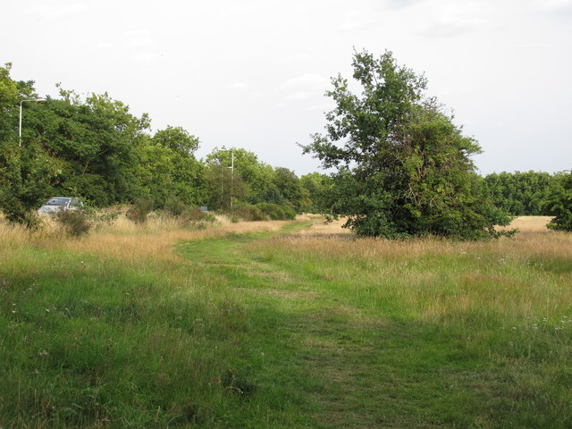
Path near Aldersbrook Road
Epping Forest (formerly known as Waltham Forest) is an ancient woodland north-east of London. As a former royal forest dating from the 12th century, it is managed by the City of London Corporation.
The forest is 2,476 hectares in area, comprising woodland, grassland and open heath, forming a 19km long green corridor.
[abstract from Wikipedia article: Link ]
]
See other images of Epping Forest
The forest is 2,476 hectares in area, comprising woodland, grassland and open heath, forming a 19km long green corridor.
[abstract from Wikipedia article: Link
See other images of Epping Forest
 Map © Crown Copyright")
TIP: Click the map for more Large scale mapping
- Grid Square
- TQ4286, 207 images (more nearby 🔍)
- Photographer
- Roger Jones (more nearby)
- Date Taken
- Thursday, 14 July, 2011 (more nearby)
- Submitted
- Thursday, 14 July, 2011
- Subject Location
-
OSGB36:
 TQ 420 860 [100m precision]
WGS84: 51:33.3440N 0:2.8299E - Camera Location
-
OSGB36: TQ 420 860
- View Direction
- Southeast (about 135 degrees)