2011
SW5236 : View from St Michael's Way
taken 13 years ago, near to Cripplesease, Cornwall, England
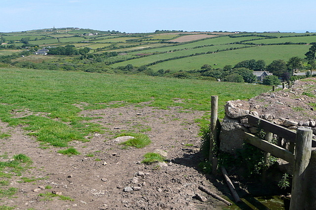
View from St Michael's Way
After crossing the first lane below Trencrom Hill, this is the view northwards from the stile. Another steep valley, then arable countryside leading towards Knill's Monument on the left horizon SW5138 above St Ives.
 Map © Crown Copyright")
TIP: Click the map for more Large scale mapping
- Grid Square
- SW5236, 33 images (more nearby 🔍)
- Photographer
- Graham Horn (more nearby)
- Date Taken
- Saturday, 2 July, 2011 (more nearby)
- Submitted
- Monday, 18 July, 2011
- Subject Location
-
OSGB36:
 SW 520 364 [100m precision]
WGS84: 50:10.5365N 5:28.4843W - Camera Location
-
OSGB36: SW 5204 3641
- View Direction
- NORTH (about 0 degrees)