2005
NZ5917 : Farmland. Low Park Wood
taken 19 years ago, near to Dunsdale, Redcar And Cleveland, England
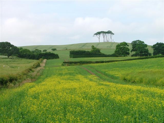
Farmland. Low Park Wood
Photo taken looking south west from Wilton Lane towards the area named as Low Park Wood on the map. There isn't much sign of a wood; it seems to be mostly farmland. Here a field of rape flowers persist.
 Map © Crown Copyright")
TIP: Click the map for more Large scale mapping
- Grid Square
- NZ5917, 2 images (more nearby 🔍)
- Photographer
- Mick Garratt (more nearby)
- Date Taken
- Friday, 8 July, 2005 (more nearby)
- Submitted
- Saturday, 9 July, 2005
- Subject Location
-
OSGB36:
 NZ 59 17 [1000m precision]
WGS84: 54:32.9558N 1:4.8999W