2005
SC2374 : Road to Eary Cushlin
taken 19 years ago, near to Ronague, Isle of Man
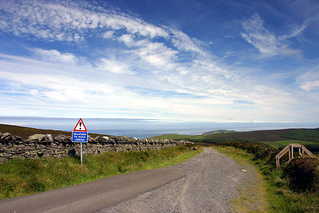
Road to Eary Cushlin
Looking N from the junction with the A36.
 Map © Crown Copyright")
TIP: Click the map for more Large scale mapping
- Grid Square
- SC2374, 11 images (more nearby 🔍)
- Photographer
- Andy Stephenson (more nearby)
- Date Taken
- Saturday, 9 July, 2005 (more nearby)
- Submitted
- Saturday, 9 July, 2005
- Subject Location
-
OSGB36:
 SC 23 74 [1000m precision]
WGS84: 54:8.1566N 4:42.1895W