2011
NS1269 : Forest track on Achafour Hill
taken 13 years ago, near to Toward, Argyll And Bute, Scotland
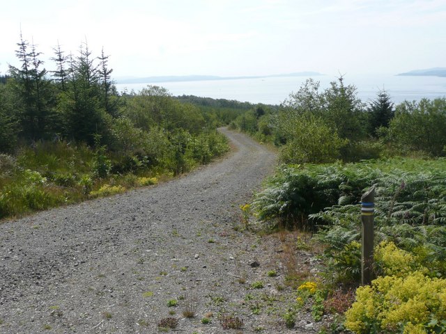
Forest track on Achafour Hill
With footpath waymark.
 Map © Crown Copyright")
TIP: Click the map for more Large scale mapping
- Grid Square
- NS1269, 6 images (more nearby 🔍)
- Photographer
- Russel Wills (more nearby)
- Date Taken
- Saturday, 30 July, 2011 (more nearby)
- Submitted
- Monday, 1 August, 2011
- Subject Location
-
OSGB36:
 NS 1201 6925 [10m precision]
WGS84: 55:52.7767N 5:0.4126W - Camera Location
-
OSGB36: NS 12002 69276
- View Direction
- South-southeast (about 157 degrees)