2011
TQ4263 : London Loop towards Keston
taken 13 years ago, near to Leaves Green, Bromley, England
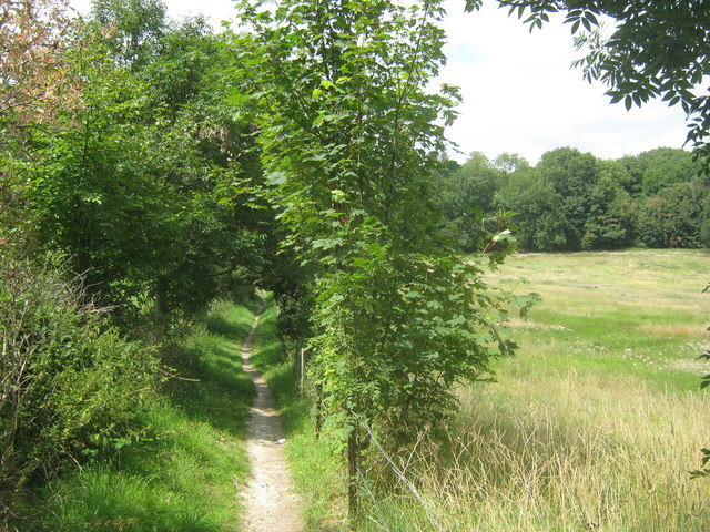
London Loop towards Keston
This section of the long distance footpath (the London Outer Orbital Path) leads from Downe Road towards the A233 Westerham Road.
London Outer Orbital Path (LOOP)
Starting at the Thames at Erith and finishing on the opposite north bank at Coldharbour, the Loop (London Outer Orbital Path) is 150 miles long, passing through numerous woods, commons and parks and on waterside paths alongside the Grand Union Canal and London rivers such as the Colne, Crane, Cray, Darent and Ingrebourne.
 Map © Crown Copyright")
TIP: Click the map for more Large scale mapping
- Grid Square
- TQ4263, 52 images (more nearby 🔍)
- Photographer
- David Anstiss (more nearby)
- Date Taken
- Sunday, 31 July, 2011 (more nearby)
- Submitted
- Thursday, 4 August, 2011
- Subject Location
-
OSGB36:
 TQ 4223 6303 [10m precision]
WGS84: 51:20.9135N 0:2.4560E - Camera Location
-
OSGB36: TQ 4225 6301
- View Direction
- Northwest (about 315 degrees)