2011
TL7988 : Harling Drove
taken 13 years ago, near to Weeting, Norfolk, England
This is 1 of 2 images, with title Harling Drove in this square
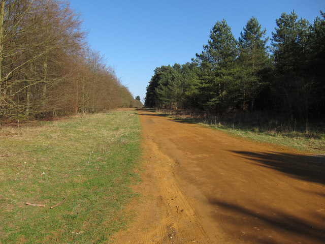
Harling Drove
Sustrans Regional Route 30 follows this track. The route runs from Great Yarmouth along the coast through Cromer to King's Lynn as the Norfolk Coast Cycleway. From King's Lynn the route takes an inland route to Lowestoft via Diss as the Two Rivers Route, see Link (Archive Link )
 Map © Crown Copyright")
TIP: Click the map for more Large scale mapping
- Grid Square
- TL7988, 8 images (more nearby 🔍)
- Photographer
- Hugh Venables (more nearby)
- Date Taken
- Saturday, 19 March, 2011 (more nearby)
- Submitted
- Monday, 8 August, 2011
- Subject Location
-
OSGB36:
 TL 7927 8806 [10m precision]
WGS84: 52:27.6633N 0:38.2360E - Camera Location
-
OSGB36: TL 7917 8804
- View Direction
- East-northeast (about 67 degrees)