2011
TL8088 : Harling Drove
taken 13 years ago, near to Santon Downham, Suffolk, England
This is 1 of 2 images, with title Harling Drove in this square
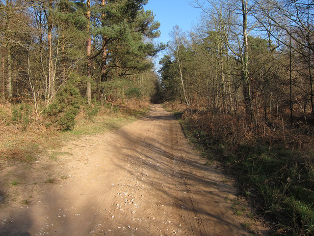
Harling Drove
Cycle route across the northern part of the Brecks.
 Map © Crown Copyright")
TIP: Click the map for more Large scale mapping
- Grid Square
- TL8088, 16 images (more nearby 🔍)
- Photographer
- Hugh Venables (more nearby)
- Date Taken
- Saturday, 19 March, 2011 (more nearby)
- Submitted
- Monday, 8 August, 2011
- Subject Location
-
OSGB36:
 TL 804 883 [100m precision]
WGS84: 52:27.7913N 0:39.2684E - Camera Location
-
OSGB36: TL 803 883
- View Direction
- East-northeast (about 67 degrees)