2006
SK2961 : Farley Hill
taken 18 years ago, near to Upper Hackney, Derbyshire, England
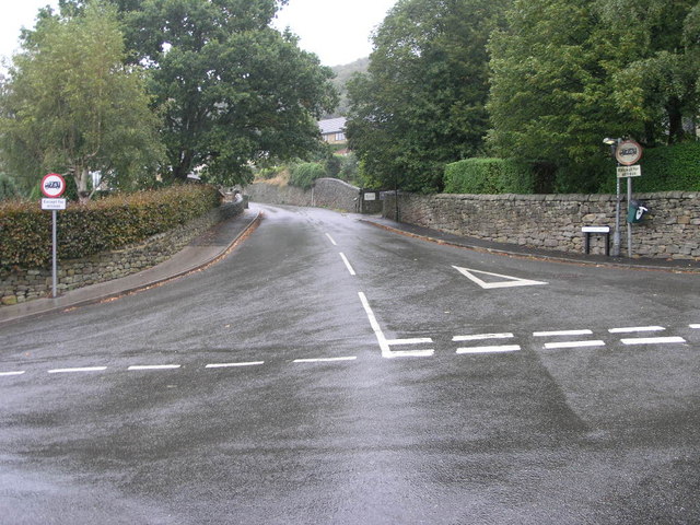
Farley Hill
Farley Hill Leads up through Upper Hackney.
 Map © Crown Copyright")
TIP: Click the map for more Large scale mapping
- Grid Square
- SK2961, 18 images (more nearby 🔍)
- Photographer
- Michael Patterson (more nearby)
- Date Taken
- Thursday, 5 October, 2006 (more nearby)
- Submitted
- Friday, 6 October, 2006
- Subject Location
-
OSGB36:
 SK 293 612 [100m precision]
WGS84: 53:8.8285N 1:33.8029W - Camera Location
-
OSGB36: SK 293 611
- View Direction
- NORTH (about 0 degrees)