2011
SE2532 : Low Wortley Ring Road - viewed from Whincover Drive
taken 13 years ago, near to New Farnley, Leeds, England
This is 1 of 2 images, with title Low Wortley Ring Road - viewed from Whincover Drive in this square
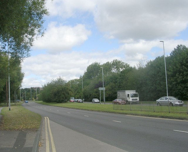
Low Wortley Ring Road - viewed from Whincover Drive
 Map © Crown Copyright")
TIP: Click the map for more Large scale mapping
- Grid Square
- SE2532, 171 images (more nearby 🔍)
- Photographer
- Betty Longbottom (more nearby)
- Date Taken
- Tuesday, 9 August, 2011 (more nearby)
- Submitted
- Wednesday, 10 August, 2011
- Subject Location
-
OSGB36:
 SE 2591 3225 [10m precision]
WGS84: 53:47.1559N 1:36.4940W - Camera Location
-
OSGB36: SE 2591 3224
- View Direction
- NORTH (about 0 degrees)