2011
SE8121 : Farm track (bridleway) south of Whitgift
taken 13 years ago, near to Whitgift, East Riding of Yorkshire, England
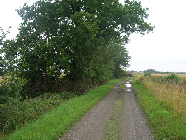
Farm track (bridleway) south of Whitgift
 Map © Crown Copyright")
TIP: Click the map for more Large scale mapping
- Grid Square
- SE8121, 11 images (more nearby 🔍)
- Photographer
- JThomas (more nearby)
- Date Taken
- Friday, 12 August, 2011 (more nearby)
- Submitted
- Friday, 12 August, 2011
- Subject Location
-
OSGB36:
 SE 8166 2192 [10m precision]
WGS84: 53:41.2416N 0:45.8974W - Camera Location
-
OSGB36: SE 81668 21926
- View Direction
- SOUTH (about 180 degrees)