2011
SH8138 : Dry stone wall near Arenig Fawr
taken 13 years ago, near to Amnodd-Wen [other Features], Gwynedd, Great Britain
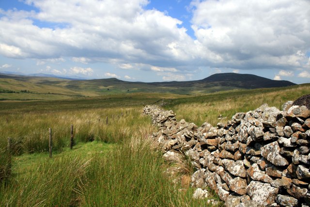
Dry stone wall near Arenig Fawr
Looking north towards Arenig Fach.
 Map © Crown Copyright")
TIP: Click the map for more Large scale mapping
- Grid Square
- SH8138, 23 images (more nearby 🔍)
- Photographer
- Jeff Buck (more nearby)
- Date Taken
- Thursday, 14 July, 2011 (more nearby)
- Submitted
- Saturday, 13 August, 2011
- Subject Location
-
OSGB36:
 SH 8141 3823 [10m precision]
WGS84: 52:55.7004N 3:45.9384W - Camera Location
-
OSGB36: SH 8141 3821
- View Direction
- NORTH (about 0 degrees)