2011
TQ5375 : River Darent from University Way
taken 13 years ago, near to Dartford, Kent, England
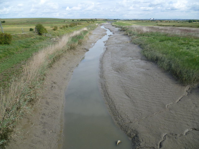
River Darent from University Way
The River Darent is still tidal here as it heads towards Dartford Creek and the River Thames. The photograph is taken from University Way which is not the best spot to try and take photographs from as lorries are continually passing behind. On the right in the far distance is the Dartford Creek Barrier which is reached just before the Thames. To the left are Crayford Marshes and to the right are Dartford Marshes. The hills to the left in the distance are landfill. Although most of Dartford Creek and the Darent downriver of here forms the London/Kent boundary, this does not apply here as the boundary turns west down Crayford Creek which is about 300 metres away. The river here is therefore in Kent.
 Map © Crown Copyright")
TIP: Click the map for more Large scale mapping
- Grid Square
- TQ5375, 86 images (more nearby 🔍)
- Photographer
- Marathon (more nearby)
- Date Taken
- Sunday, 14 August, 2011 (more nearby)
- Submitted
- Sunday, 14 August, 2011
- Subject Location
-
OSGB36:
 TQ 5367 7576 [10m precision]
WGS84: 51:27.5977N 0:12.6353E - Camera Location
-
OSGB36: TQ 5369 7565
- View Direction
- NORTH (about 0 degrees)